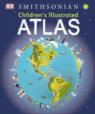
Children's illustrated atlas
A first atlas for students features over fifty maps of world regions in addition to trivia about different countries and cultures.
Available Copies by Location
| Location | |
|---|---|
| Community Centre | Available |
Browse Related Items
| Subject |
| Atlases > Juvenile literature. |
| Genre |
| Children's atlases. |
- ISBN: 9781465459619
-
Physical Description
print
128 pages : illustrations (chiefly color), color maps ; 31 cm - Edition First American edition.
- Publisher [Place of publication not identified] : [publisher not identified], 2016.
Content descriptions
| General Note: | Includes index. |
| Formatted Contents Note: | How to read the maps -- The world -- North America -- South America -- Africa -- Europe -- Asia -- Australasia and the polar regions. |

